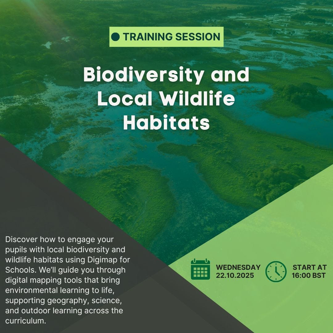
A free Digimap for Schools Webinar to help you explore biodiversity and local wildlife habitats.
This sort of CPD will be valuable for those who have aspirations to teach the new specification.

A blog providing ideas and resources for those teachers hoping to teach the new GCSE Specification, first announced in April 2022. Draft subject content released for consultation in June 2026 - for first teaching from 2028 or 2029.
A free Digimap for Schools Webinar to help you explore biodiversity and local wildlife habitats.
This sort of CPD will be valuable for those who have aspirations to teach the new specification.
My hope would be that the new specification will involve an expectation of a deal of mapwork using the Ordnance Survey's mapping, plus ESRI GIS mapping and Survey123 for the collection and visualisation of fieldwork data. They may also need to use the MAGIC map, maps of National Landscapes etc and ensure that location and description of context is an important part when considering the range of habitats and how the landscape and Natural History of the UK has changed over the centuries.
I've been involved with the OS in numerous ways over the years: as a GetOutside Champion, author of support resources for Digimap for Schools and Digimap for Colleges / Mapstream. Also as an author of articles for Mapping News and other support for various campaigns and activities.
Robert MacFarlane has finished work on “The World Tree”, the libretto for a long choral work originally inspired by the felling of the Syca...

