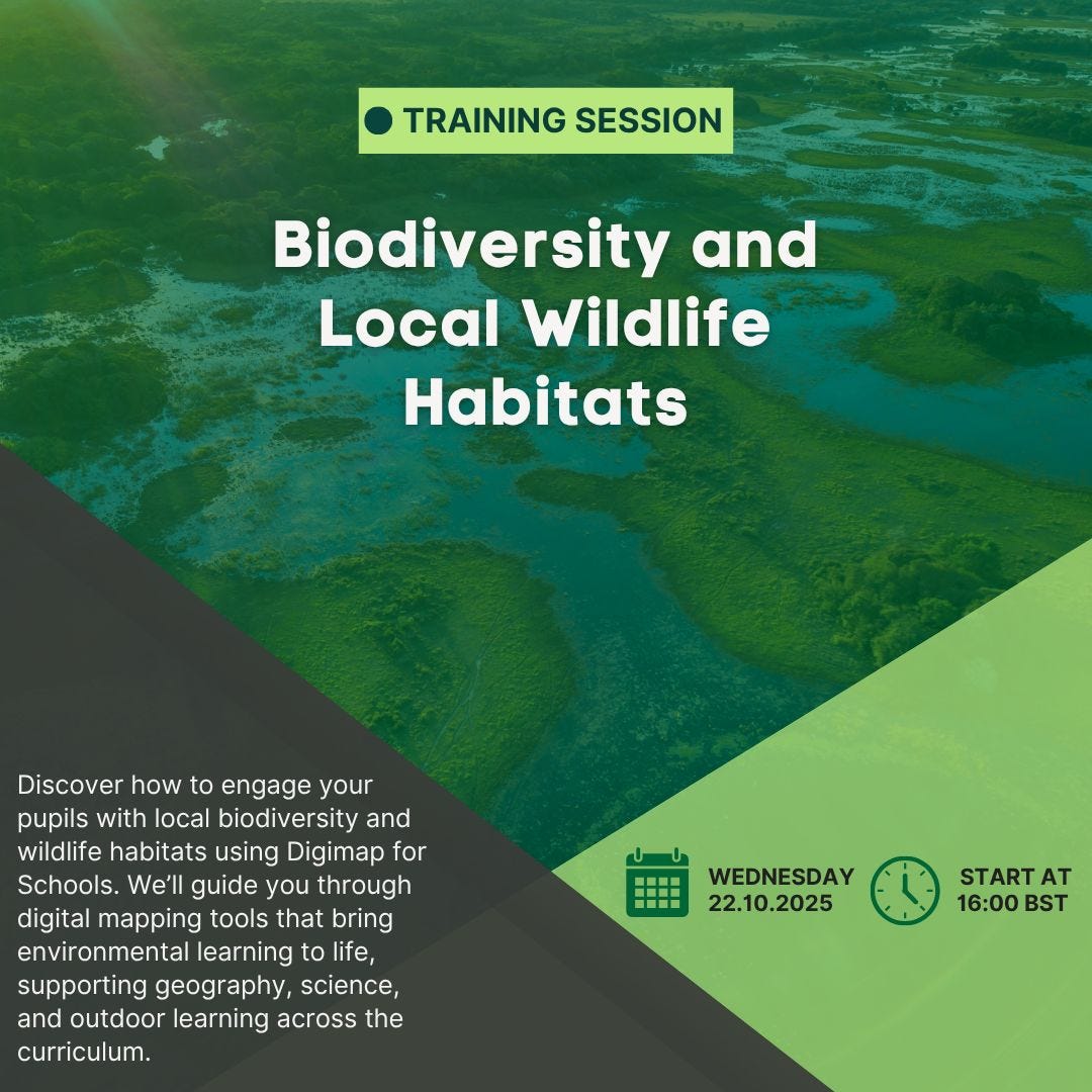
A free Digimap for Schools Webinar to help you explore biodiversity and local wildlife habitats.
This sort of CPD will be valuable for those who have aspirations to teach the new specification.

A blog providing ideas and resources for those teachers hoping to teach the new GCSE Specification, first announced in April 2022. Draft subject content released for consultation in June 2026 - for first teaching from 2028 or 2029.
A free Digimap for Schools Webinar to help you explore biodiversity and local wildlife habitats.
This sort of CPD will be valuable for those who have aspirations to teach the new specification.
The Ordnance Survey's mapping team have created a range of maps over the years. Back in 2023, they produced a list of 100 large parks.


My hope would be that the new specification will involve an expectation of a deal of mapwork using the Ordnance Survey's mapping, plus ESRI GIS mapping and Survey123 for the collection and visualisation of fieldwork data. They may also need to use the MAGIC map, maps of National Landscapes etc and ensure that location and description of context is an important part when considering the range of habitats and how the landscape and Natural History of the UK has changed over the centuries.
I've been involved with the OS in numerous ways over the years: as a GetOutside Champion, author of support resources for Digimap for Schools and Digimap for Colleges / Mapstream. Also as an author of articles for Mapping News and other support for various campaigns and activities.
The best way to see some natural history is to Get Outside!

I hope you have something planned for today!
Between 2018 and 2020 I worked as a GetOutside Champion for the Ordnance Survey: part of a team of people in various locations around the country encouraging people to get outside in different ways. Some of them were athletes, bloggers, Instagrammers, runners, paralympians and TV personalities. I was just a geography teacher using my blogging and role to encourage fieldwork and other outdoor activities in the curriculum.
We added a Fieldwork Week to my GA Presidential year, with thanks to Paula Richardson for her efforts there, and expanded it to a Fieldwork Fortnight last year.

This led to me creating a booklet for Natural England.
It can be accessed via the National Archives - code NE201.
I came across this quote in a book I read last year.
It is about the value of landscape. Landscape according to Anne Whiston Spirn was our original language. She explains the powerful idea that:
“landscapes were the first human texts, read before the invention of other signs and symbols… a person literate in landscape sees significance where an illiterate person notes nothing.”
I then found a copy of the book in a second hand bookshop a few days later coincidentally.
Reference
Spirn, A. W.: ‘Language of Landscape’ – Yale University Press; Revised Edition, 2000
The Languge of Landscape:
Robert MacFarlane has finished work on “The World Tree”, the libretto for a long choral work originally inspired by the felling of the Syca...

